Feeds:
Posts
Comments

Metacomet Trail

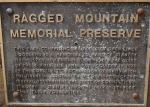
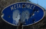
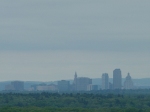
Tarriffville Gorge – Peak Mountain – Suffield Mountain

05/22/2011

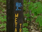
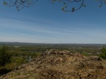
This hike marks the end of the Metacomet Trail and was our completion hike.  Technically this trail continues as the Monadnock trail through Massachusetts and ends at Mt. Monadnock in New Hampshire, we noticed the blazes turned white at the Massachusetts border.  This, along with the Mattabesset Trail, also make up a large part of the still-growing New England National Scenic Trail.

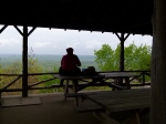
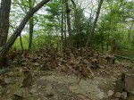
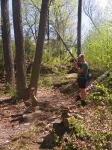
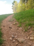
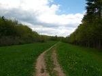
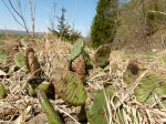
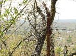
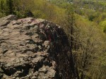
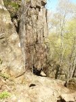
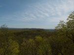
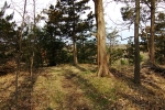
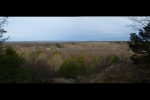
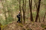
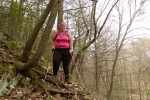
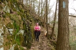
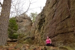
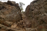
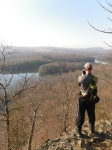
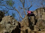
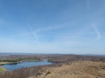
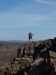
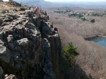
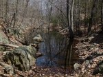
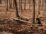
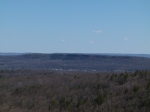
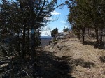
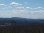
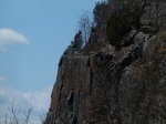
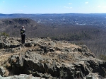
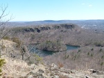
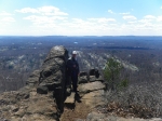
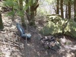
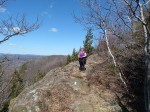
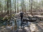
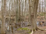
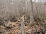
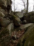
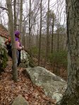
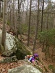
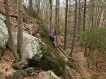
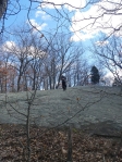
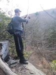
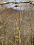
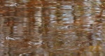
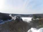
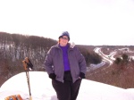
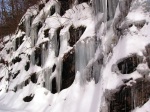
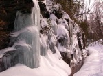
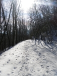
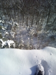
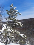
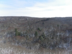
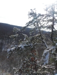
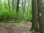
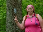
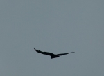
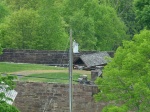
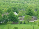
This ended up being a pretty nice hike overall.  The terrain over Peak Mtn and  West Suffield Mtn is marked as moderately difficult, which I would agree with.  I was pretty beat from all the ups and downs on this trail.  It was like a roller-coaster at times.  The downside to this hike was that this entire hike was in a really wet, swampy area.  The gnats and mosquitoes were absolutely maddening.  At times I thought I was going to lose my mind from picking gnats out of my hair, trying to breathe without inhaling them and also trying to keep them out of my eyes and ears!  They were numerous and relentless despite applying copious amounts of deet! I swear, they seemed to be immune to the stuff. I’d recommend hiking this in a drier season if possible.

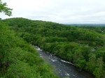
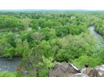
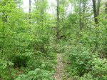
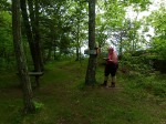
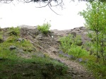
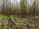
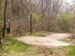
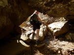
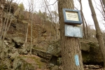
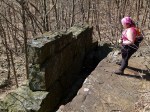
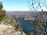
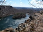
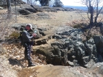
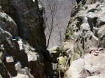
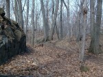
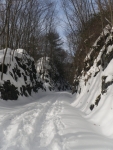
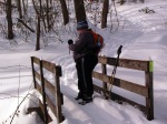
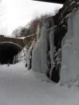
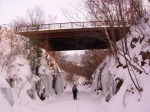
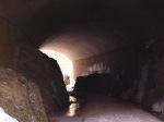
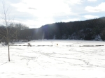
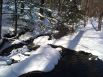
Note:  (East Book Pg, 69, Map-ME 8a)  The trail re-enters the forest after crossing Rte 189.  We found ourselves immediately puzzled when we entered the woods here as there we absolutely no blazes.  The CT Walk book mentions that there is a high trail to follow when the farmington river is high.  However, there were no blazes to indicate which was the main trail.  We chose to go right, which ended up working out.  A little ways down we came onto another split, but we still hadn’t found any blazes, so we stayed to the right again, preferring to stay near the farmington river since that’s what the map shows.  We crossed an extremely muddy area, finding what looked like washed out trail to the right this time and another trail to the left, we went left this time, but still hadn’t found any blazes.  A little ways up we ran into the woods road mentioned in the ct walk book and finally found a blue blaze.  This area is pretty confusing, but I assume the extra trails all lead to the woods road though I’m not 100% sure since we didn’t have time to explore it all.

Metacomet Trail

Talcott Mountain State Park – Heublein Tower – Penwood State Park

11 Miles

05/14/2011

For this hike we combined two shorter sections of the trail.  In the CT Walk book The Talcott Mtn – Heublein Tower Section is 5.6 Miles, and then the Penwood State Park hike is 5.3 Miles.

Overall this was a really nice hike but it was definitely tiring.  There are a lot of ups and downs so I don’t recommend combining these two sections unless you’re feeling particularly energetic.

Also, we were disappointed to find that the hours for the Tower listed in the CT Walk Book are no longer valid.  We had been hoping to climb to the top but the tower wasn’t open when we hiked in.

Current Heublein Tower Hours:  Thursday through Sunday from 10am to 5pm from Memorial Day weekend until Labor Day.  From Labor Day through the end of October, the Tower is open daily from 10am to 5pm.

Happy Trails!!

~Molasses

Metacomet Trail

Poplar Hill Road – Route 44

8 Miles

05/08/2011

This was, to be honest, one of the least interesting stretches we’ve done on the Metacomet.   It was an easy 8 miles, with most of the terrain being moderately flat for CT.  The hike started out in the middle of a neighborhood, with the trail leading from the road right through a “right of way” in front of a house.  The first half of the trail weaved you in between houses and down quiet residential roads.  The second half of the hike sends you into MDC property, which was peaceful and quiet.  One thing about both the Mattabesset and the Metacomet Trails is that they are right in the middle of some very populated area’s.  You find yourself on top of various mountains, but still surrounded by the sound of traffic, and the sounds of lawn mowers, children playing, chainsaws.  You never really feel like you’re far away.  The second half of this hike was quiet and we heard very little to remind us that we were pretty close to civilization.

A word of caution on this stretch of trail:  We encountered a lot of poison ivy!  We saw it along the trail pretty much from start to finish but there is one tiny section of trail I would skip all together if I were to do this hike again.  CT Walk Book East Map ME-5a (pg 62) shows a crossing of Rte 4, after that crossing you hike in a pipeline and then cross Pratling Pond Road.  Just skip the pipeline, go around that little section after the Rte 4 crossing, there is plenty of shoulder available, you’ll literally be 50 feet from the trail anyway, and you can easily pick the trail back up at Pratling Pond Road.  We encountered a downed tree that was covered in several massive vines of poison ivy.  In order to get to the break in the fence for hikers you have to squeeze yourself in between this huge, poison ivy covered tree and some pricker bushes.  Then, once you get past the tree you’re faced with ground that’s just littered with poison ivy.  We managed to work our way through it but it really wasn’t worth it and we really wished we had just gone around.  I don’t know if/when, the poison ivy covered tree will be removed, but until it is it’s just not worth it.

Metacomet Trail

Metacomet Trail

Crescent Lake Access Trail – Poplar Hill Drive

8.8 Miles

Note:  The stretch of this trail around Bradley Mountain has been re-routed to avoid a dangerous road walk over I-84 and Rte 72.  Always visit:  http://www.ctwoodlands.org/trail-changes before setting out on a hike.

All in all this was a pretty nice hike.  🙂

Happy Trail,

~Molasses

Metacomet Trail

Metacomet Trail

Approx 10 miles Metacomet + Access Trails

Short Mountain – Ragged Mountain – Crescent Lake

04/22/2011

This turned out to be a pretty tough hike.  Harder than the last 10 mile hike we did.  This had a lot more ups and downs, but it was a great hike with lots of interesting scenery and some really nice views.

Happy Trails!

-Molasses

Ragged Mountain Preserve Trail

6 Miles including 2.7 Miles of the Metacomet Trail

04/09/2011

This is a great hike, I highly recommend it.  The Preserve Trail is a really easy hike, with the most difficult part of the hike being, as you would expect, the 2.7 mile jaunt along the Metacomet.  But even the most difficult thing there are a couple short rock scrambles, and the expansive view from the top of Ragged Mountain makes scrambling over them totally worth it.  🙂

Alright, enough reading, get out there and hike!!

Happy Trails,

-Molasses

Metacomet 04/03/2011

Metacomet Trail

Sections 1 & 2

04/03/2011

It was good to really get back into the swing of things with this hike.  While still a little on the chilly side the weather here in CT in improving and we should be able to get back into the routine of checking off a section of trail at least once a week.  It felt good to clean the stale winter air out of our lungs two weeks ago with a nice, long, hike along the Mattabesett.  A really long hike this week felt like just the right kick in the butt to start the year with.

Here are the pictures from our adventure:

For me this hike marked a milestone.  The longest hike I’ve done along terrain of this level of difficulty.  If you know the place from which I started this adventure you realize how important a milestone this is for me.  I’ve never been a person who is very athletic, or who is fit.  My goal is to not only change that but to become very fit and to someday thru-hike the Appalachian Trail.  I am in the process of working on a progress report entry for this blog to talk about this subject more in detail.  Look for it in the near future.  🙂

Until next time.

Happy Trails!

~Molasses~

Westwoods 03/13/2011

Westwoods Trails

Guilford, CT

A little over 6 miles

For our completion of the Westwoods trails we decided to Park on Peddlers Road and take the White Circle Trail in to meet up with the Yellow Circle Trail, which we followed until we met up to the Violet Circle Trail.  We then followed the Violet Circle Trail back to the Green Rectangle Trail until it met up with the Yellow Crossover Trail, which took us back to the Yellow Circle and we backtracked along it, to the White Circle and back to our car.  Confusing as it sounds it made for a nice loop.

Maps of this Trail System are available in the CT Walk Book East and at the following website:  http://guilfordlandtrust.org/wordpress/properties/westwoods

One thing to note is that the CT Walk Book states that the Yellow Circle Trail is the most challenging trail in the Westwoods trail system and as such “is recommended only to the agile and energetic hiker”.  This is no joke!  Do not attempt this trail unless you are experienced, agile, energetic, and willing to get a little dirty.  Now I will mention that there are bypasses around the most difficult area’s, though they are unmarked which means they are unofficial, so take caution if choosing to use them.

Hikers are strongly encouraged to pick up a trail map before setting out!

Now, for the fun part, pictures of our hike!

Bolton Notch

Bolton Notch, Yellow trail up to the view & back.
Hop River Rail Trail, partial

It was a beautiful day here in CT.  Very frigid with a high around 16 degree’s, but the sun was out and it wasn’t snowing so we decided to take the opportunity to go for a short hike.

Valley Falls

Valley Falls

January 9th 2011